How to See Elephant Rock at Valley of Fire
Disclosure: This post contains affiliate links. If you make a purchase through these links, I may earn a small commission at no additional cost to you. I only recommend products or services that I believe will add value to my readers.
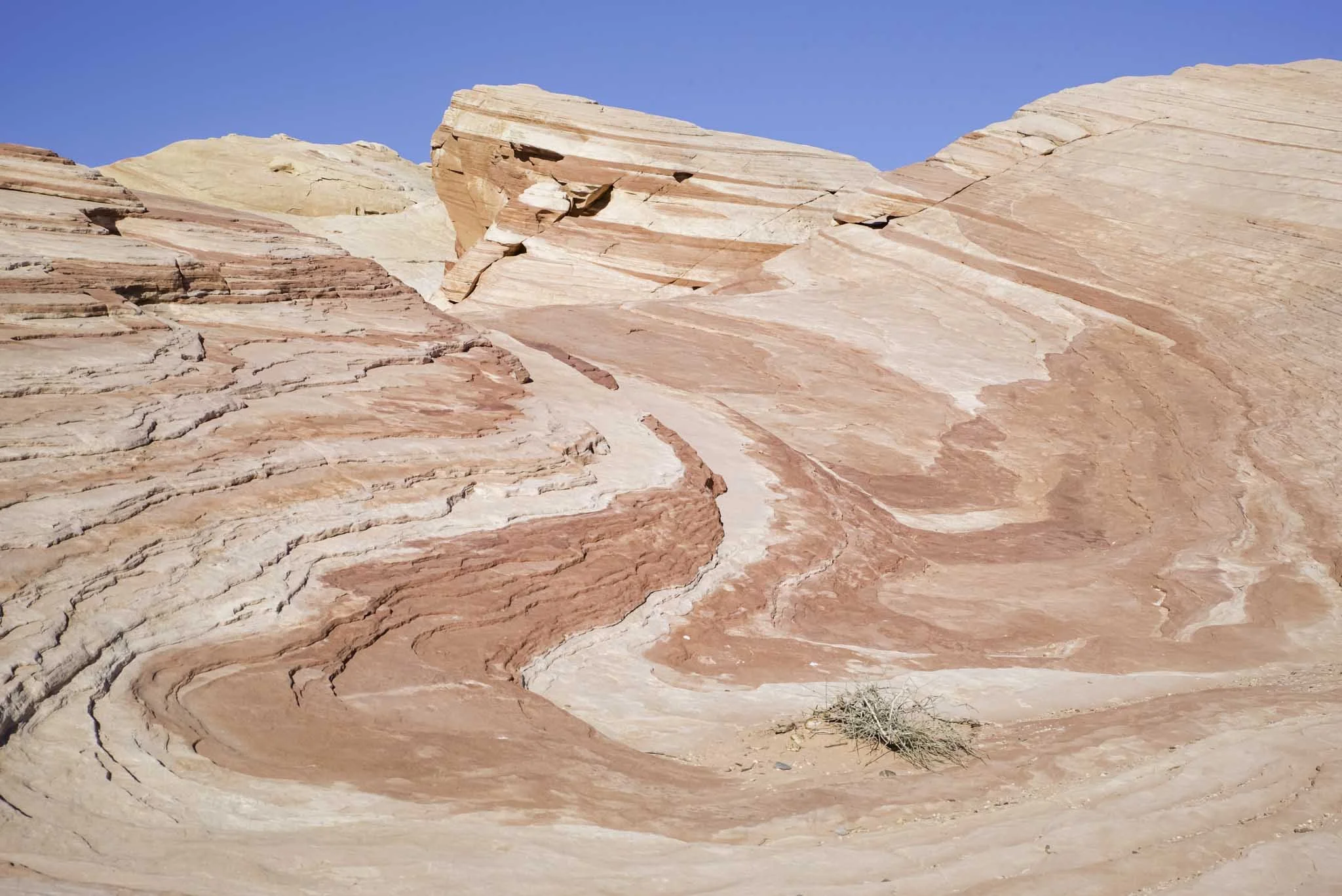
Located on the east side of Valley of Fire State Park, just inside the entrance, sits a sandstone formation so unique that it has become one of the most popular in the park - Elephant Rock.
From nearly any angle, you can make out the shape of the trunk, head and body of an elephant. When using your imagination, you’ll start to notice the outline of legs in the rock. It’ll make you question if you’re actually looking at a formation, or an actual mammoth encased in rock.
Elephant Rock is a must-see when visiting Valley of Fire for the first time. It’s easily accessible and something the whole family can participate in.
So how do you get to Elephant Rock? What is the trail like? What’s the parking situation? I answer all of these questions and more below. Let’s get into it.
Click/tap the ad to see offer details.
Trail Stats
Location: Valley of Fire State Park, Southern Nevada
Fee: $15 per vehicle day use fee ($10 for Nevada plates)
Permit: None
Open: All year
Cell Service: Spotty
Restroom: At the trailhead
Parking: Small, paved lot at the trailhead
EV Stations: None
Difficulty: Easy
Popularity: High
Mileage: 0.3 miles, RT
Time: 30 minutes to 1 hour
Elevation Gain: About 50 feet
Condition: Maintained
Features: Sandstone formation in the shape of an Elephanet
Best Viewed: Early morning for low crowds, late afternoon for best light
Pets: Not allowed
Drones: Not allowed
Hazards: Heat can be extreme and little-to-no shade
Our Visit(s): August 2023
Parking at Elephant Rock & Getting There
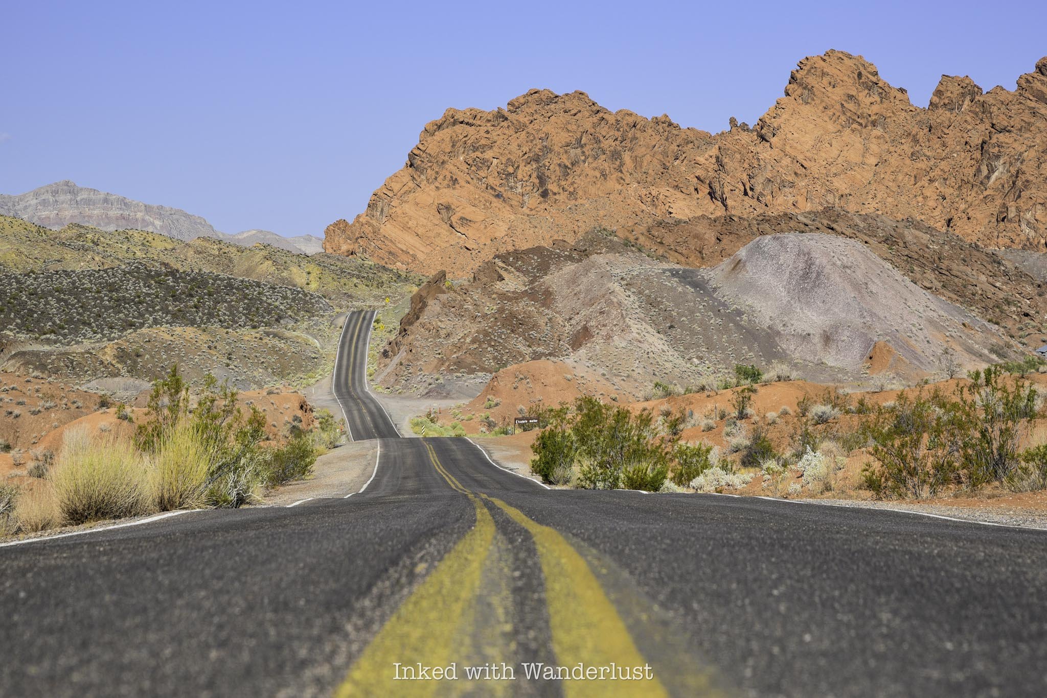
The ease of getting to Elephant Rock highly depends on which entrance you’re entering the park through. Elephant Rock is just past the east gate, on the right. So if you’re driving in on this side, you’re already there.
If you’re entering through the west gate, though, you’ll need to drive for eleven miles on the Valley of Fire Scenic Byway to the east gate, passing other attractions along the way, such as; The Beehives, Atlatl Rock and Mouse’s Tank Road.
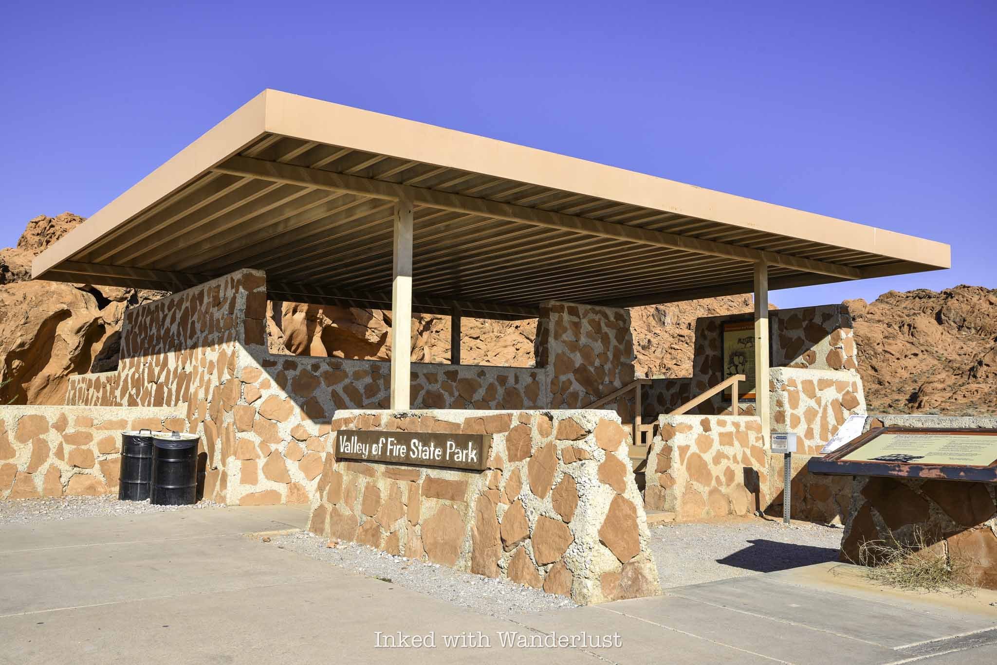
The parking lot for Elephant Rock is fairly small and paved, capable of holding a fair amount of vehicles. When the gate is unstaffed, this lot doubles as a place to park for visitors to pay their entry fees.
When I was here in August, my vehicle was the one of only two in the lot. Due to extreme heat, summer isn’t an ideal time to visit Valley of Fire, so visitation was low on this day.
If you come during the peak season, which is October through April, that’ll likely be different. On a particularly busy day, I can see this lot filling up early and quickly. So arrive as early as possible.
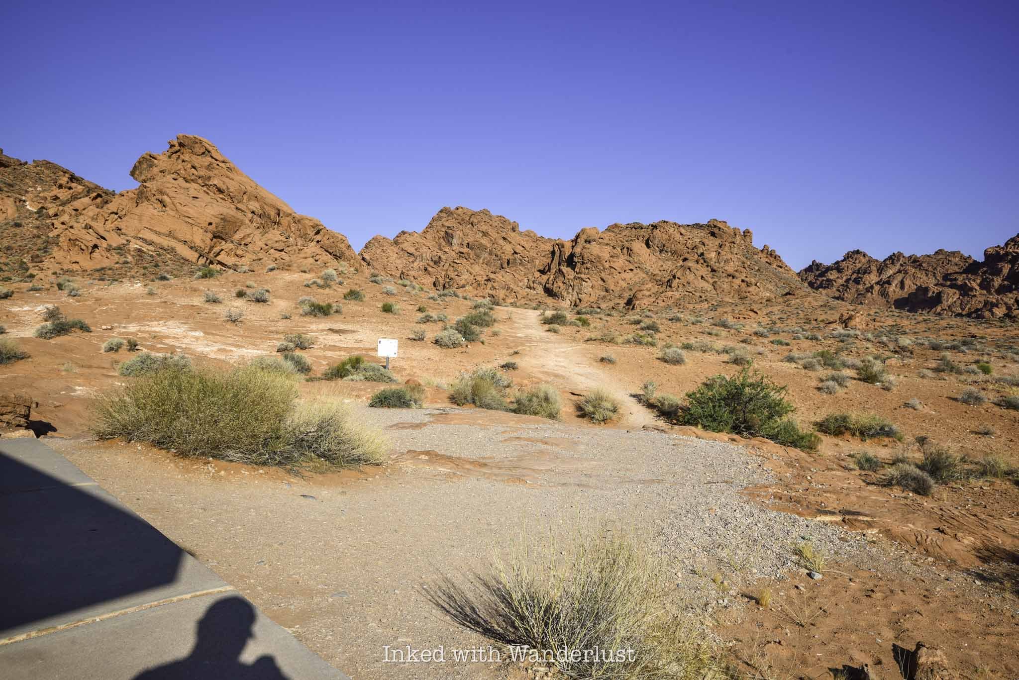
To find the trailhead, simply walk between the brick structure and the Valley of Fire photo opp sign on the right. You’ll find the trail behind the structure leading towards the sandstone ridge in the distance.
The Trail to Elephant Rock
The trail is short and sweet with very little elevation gain. You’ll be walking uphill nearly the entire way but it’s nothing difficult. In fact, until you get close to Elephant Rock, it’s barely noticeable.
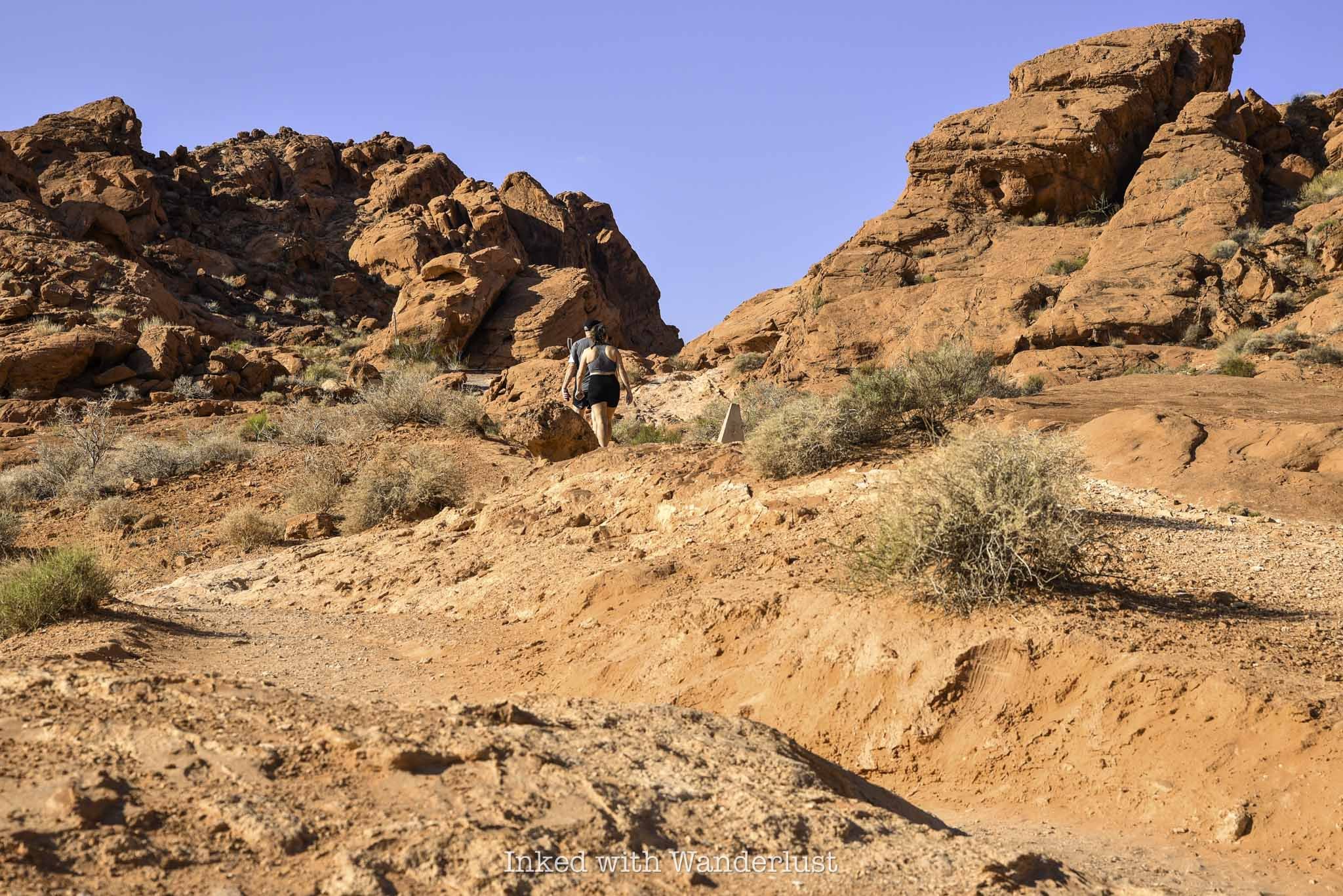
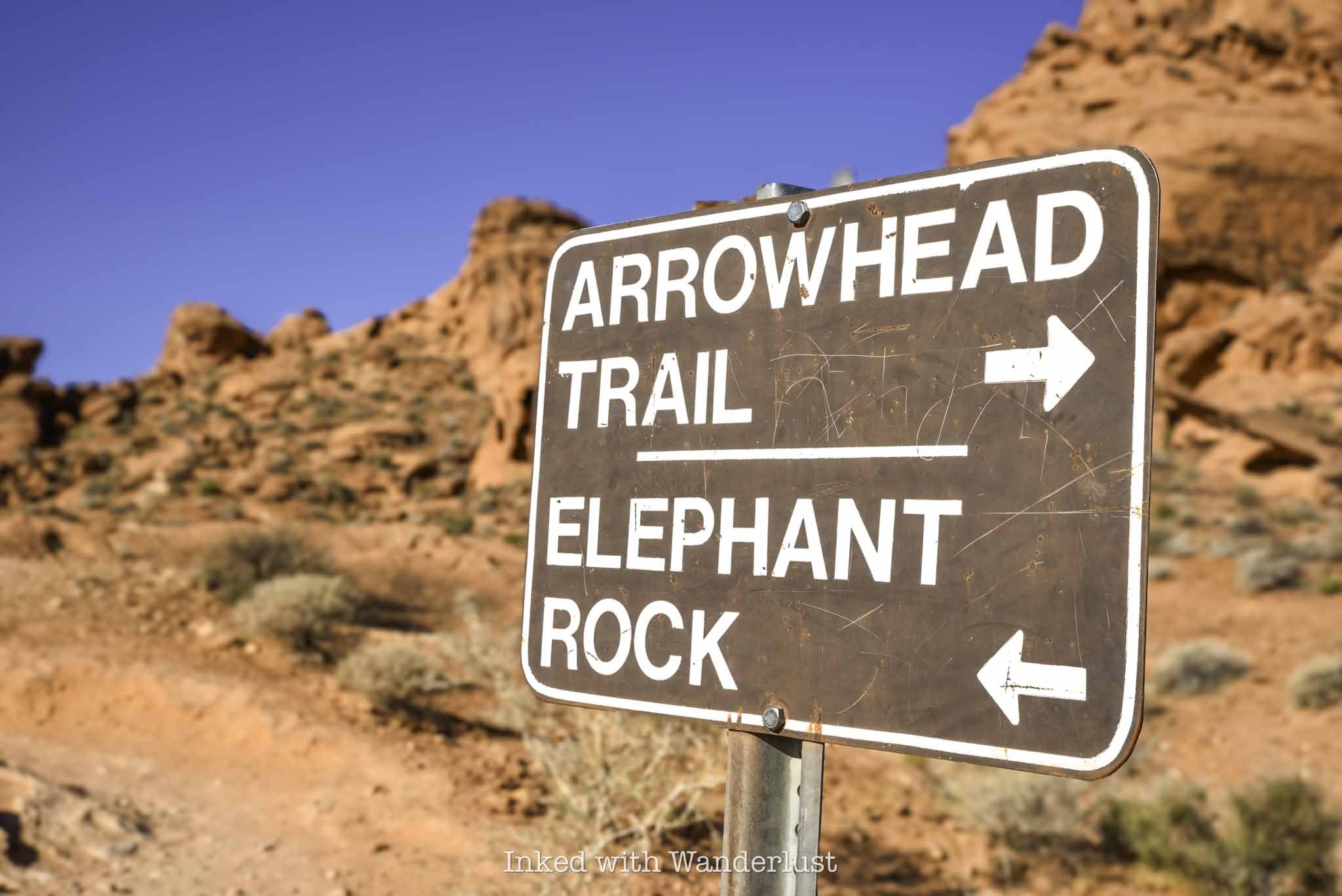
There’s only one trail junction. You will find it at around the halfway mark. Going right will place you on the 1.2-mile Arrowhead Trail. To keep to Elephant Rock, continue left.
Shortly after the trail junction, you’ll notice the trail is leading you back towards the road. Once you are aligned with the road, you’ve reached the end of the trail. Elephant Rock will be to the right of the road, looking up.
Do keep in mind to stay off the road. Visibility of this area from the vehicle perspective isn’t very good, as they’ll be coming up a hill towards you.
Elephant Rock

Elephant Rock is easily viewed from below, with no real reason to force yourself to climb up to it. There are a number of paths leading the way if you choose to do so, though.
There is a sign stating there’s no climbing allowed. I asked a park ranger for clarification and she advised that it is ok to go up to Elephant Rock, but NOT to actually climb on it, as it could cause irreversible damage.
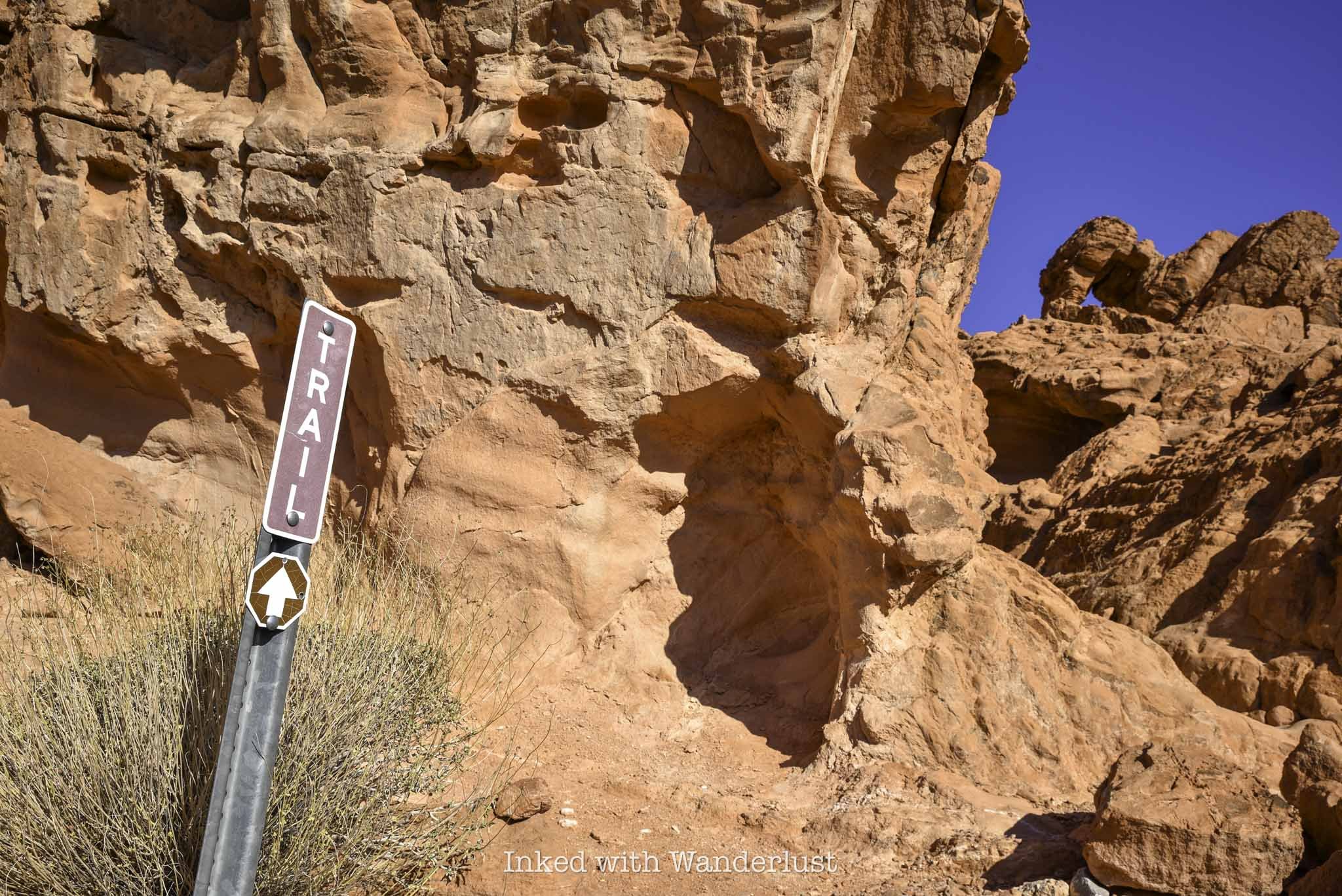
As stated above, there are several paths leading towards the formation, but the one I took (and appeared to be the easiest) was the one located just to the right of the sign pictured above.
It’s a quick jaunt to the top of Elephant Rock. Once you’re up there, you will have views of the mountains and valley in the distance.

Seeing Elephant Rock from this angle made the “Elephant” formation appear more clearly to me. So if you’re having a difficult time picturing it from below, try it from up here.
When you’re done, simply head back the same way you came in on the trail. Please do not walk along the road as park rangers will cite you if you’re caught.
From here, I recommend making your way to one of the most historic locations in the park, Atlatl Rock. You can read my post about it here.