Cave Rock Trail: A Short Hike To An Epic View Of Lake Tahoe
3 minute read | contains affiliate links
Located on the Nevada side of the lake, the Cave Rock trail may seem uneventful at first, but the mind-blowing view at the end will prove that assumption wrong.
This trail is great for hikers, families and everyone in between. If you happen to be driving through on a trip, it’s an excellent way to stretch your legs for an hour or so.
Note that this post is about the actual trail to the top of Cave Rock and not the state park on the other side of the highway. Those are two different things.
In this post, we’ll cover topics such as parking, how to find the trailhead, what to expect along the trail and more. Let’s get into it!
Here’s some great hiking products we recommend…

Quick Stats
Location: Stateline, NV (Tahoe)
Fee: None
Permit: None
Open: Year round
For: Everyone
Restroom: None
Parking: Tiny lot with enough room for 4-5 vehicles
EV Stations: None
Difficulty: Easy (though there’s some scrambling involved)
Popularity: Medium to high
Mileage: Less than a mile, roundtrip
Time: One hour
Elevation Gain: 137-feet
Condition: Maintained (not signed)
Features: Cave Rock & view of Lake Tahoe
Pets: Allowed on leash
Drones*: Allowed on the trail and Cave Rock itself (not within the state park boundaries, though)
Hazards: You’ll need to scramble up Cave Rock to get to the top. It’s nothing too difficult, though.
Our Visit(s): 2016 & 2022
*We refer to the app, “B4UFLY”, to help determine if we’re legally allowed to launch our drone from a particular location. We suggest you do the same to ensure you’re flying responsibly.
Cave Rock Trailhead & Parking

When looking for the parking lot and trailhead for the Cave Rock trail, many people mistakingly go to Cave Rock State Park along the shore of the lake.
Unfortunately, there is no access to the trail from there. That area is for swimming, kayaking and other types of recreating.
For the trail to the top of Cave Rock, you’ll need to drive up Cave Rock road, just off the highway. You’ll see a, “Cave Rock Estates”, sign indicating the correct road.
About a quarter-of-a-mile up the road (as it elbows), you’ll see a tiny, pull-out style lot on the left side of the road. This is the parking lot for the trail (pictured above).

As you can see, there isn’t a whole lot of room. It’s a stretch to even call it a parking lot. There’s room for maybe four or five vehicles.
On top of that, there’s no parking allowed along the street (you could get towed). If there’s no space, you may have to circle around a couple times.
Due to this, we recommend getting here early. We arrived at around 8am and there was just one other couple at the rock.
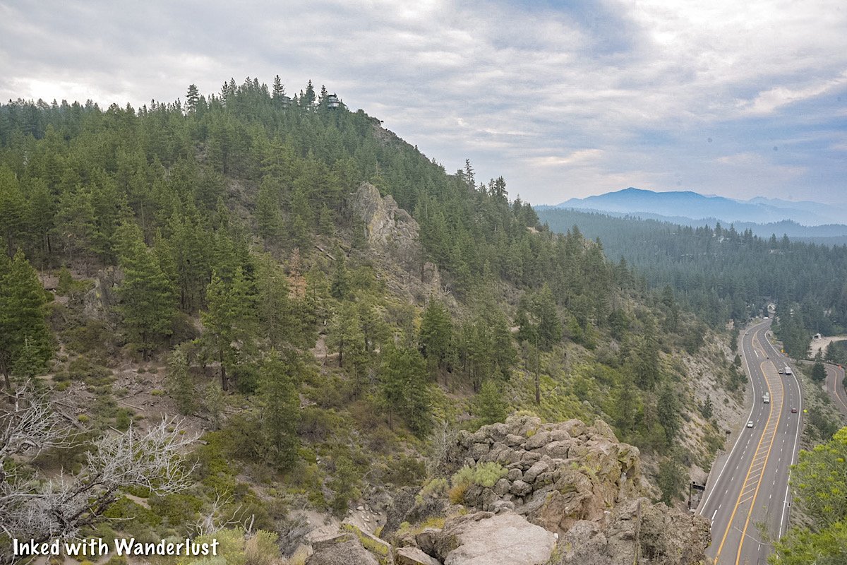
Cave Rock Trail

The trail is a well maintained, compacted dirt path that’s less than a mile, out and back. You will be walking at an incline but it’s barely noticeable.
Along the way, you’ll be treated to periodic views of Cave Rock and the lake itself. There’s a few spots to get creative with your camera by using the trees to frame the rock.

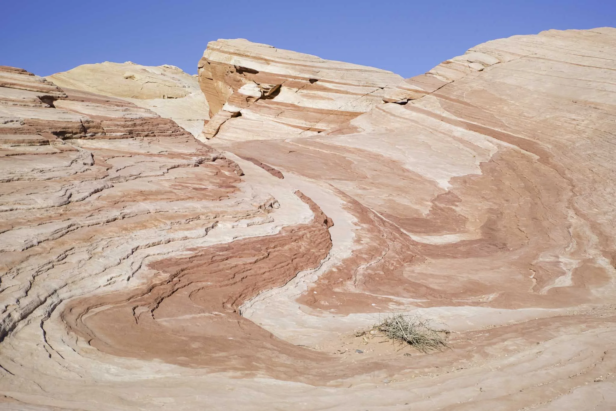
As you get further up the trail, you’ll see a large set of boulders on the right side of the trail (pictured below).

Shortly after these boulders, you’ll come to an unsigned junction. Keep left (in the direction of Cave Rock) to remain on the trail.
Almost immediately after bearing left, the base of Cave Rock will come into view.


If you or someone in your group isn’t up for scrambling up the rock, you can get a similar view as the one up top.

For an even better view, though, you’ll want to get to the top. To begin, make your way around the rock-wall to begin your climb.
Scrambling Up Cave Rock

There’s no actual trail or path to the top. Take a minute to scan the boulders around you, use common sense and scramble your way up.
If we had to rate it, we’d both say it’s an easy, beginner level scramble. Or the lower end of moderate, at worst. It only took us about five minutes.


The views from the top are simply jaw-dropping, no matter which direction you look. Being up here for sunrise or sunset would be even more amazing.
There isn’t a lot of room up here. So if you’re here on a particular busy day, expect it to be a bit cramped. In our experiences, though, its never been an issue.

When you’re done taking in the views, safely scramble back down the rock and head back to your car. If you’re up for more adventures, see our posts below for a few other Lake Tahoe hikes.
“Hike To Eagle Falls and Eagle Lake In Lake Tahoe”
“Hiking To Cascade Falls Near Emerald Bay”
“How To Kayak To Fannette Island Tea House In Emerald Bay”
Your Thoughts…
Does this sound like a trail you and your family would enjoy doing? Have you been to the top of Cave Rock? Let us know in the comments below. We love hearing from our readers!


Please support our website by sharing it with your family and friends.
Thank you for reading.